
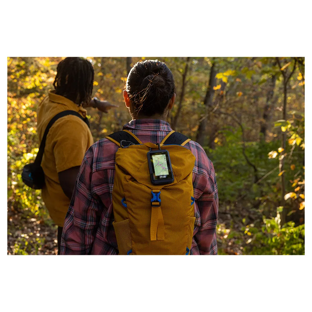



Garmin GPS eTrex Touch
Price without code 411.99
RRP:
You save:
Price without subscription
VAT & duties included
No extra charges at delivery.
Color:
Your interest-free financing from with


My virtual fitting room
Other colors available


Perfect pairings
Reportar error
Features of Garmin eTrex Touch
Product description of Garmin GPS eTrex Touch
Description summary
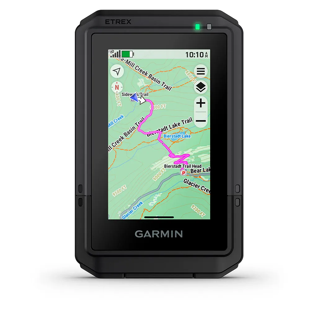
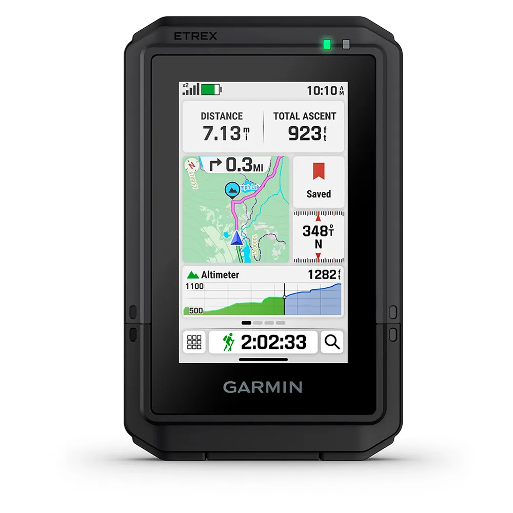
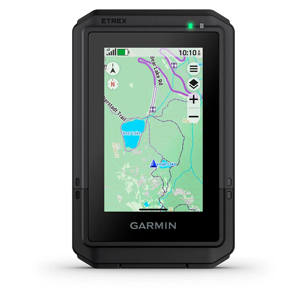
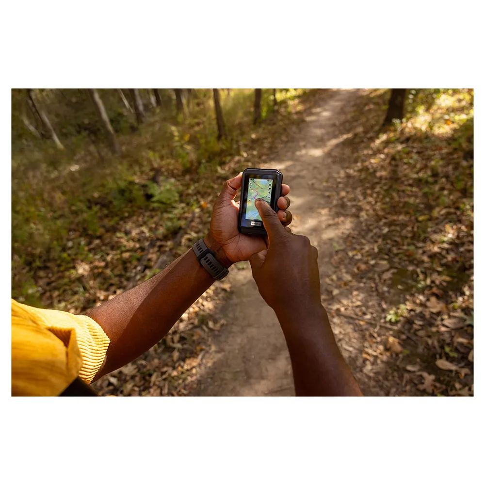
Explore with confidence using the GARMIN eTrex Touch GPS. This simple-to-use handheld features a 3" color touchscreen and preloaded TopoActive maps with routable trails. Pinpoint your location with superior multi-band GPS accuracy and enjoy an incredible battery life of up to 130 hours. Plan your adventure with popularity routing and ascent planning, follow your bearing with the digital compass, and find new treasures with Geocaching Live. Durable, water-resistant, and ready for anything, the eTrex Touch is your essential outdoor companion
BATTERY LIFE
Get long battery life up to 130 hours in all satellite systems plus multi-band mode, assuming typical use with SatIQ™ technology; and up to 650 hours in expedition mode.
GPS ACCURACY
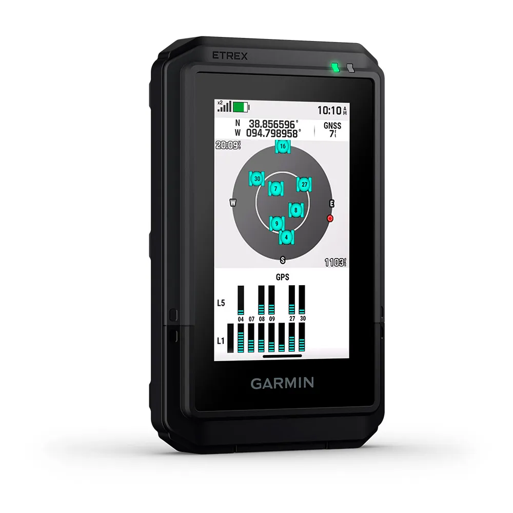
Know where you are with multi-band GPS and multi-GNSS support, which gives you access to multiple frequencies sent by navigation satellites for superior position accuracy.
FIND NEW DESTINATIONS
Popularity routing helps you navigate the best routes and rides. Round-trip routing allows you to enter a distance you want to travel for route suggestions that will bring you back to where you started.
ASCENT PLANNING
See upcoming climbs on your route, when they will occur and how steep they will be.
DIGITAL COMPASS
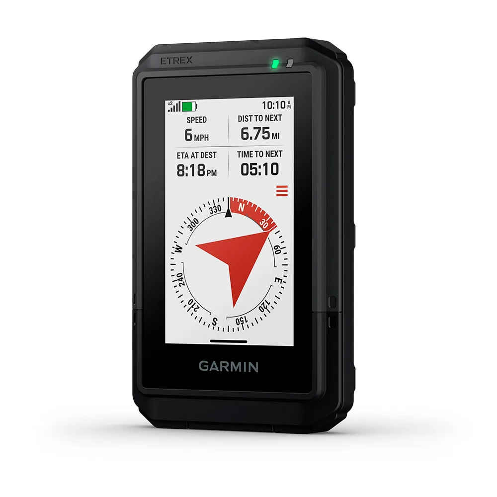
Follow your bearing on the digital compass, which provides an accurate heading even when stationary.
GEOCACHING
Get cache updates from Geocaching Live, including descriptions, logs and hints. When connected to the Garmin Explore app on your compatible smartphone, each find will upload to your geocaching.com profile.
GARMIN SHARE
Easily share saved locations and courses with friends’ compatible Garmin devices.
ON THE GO
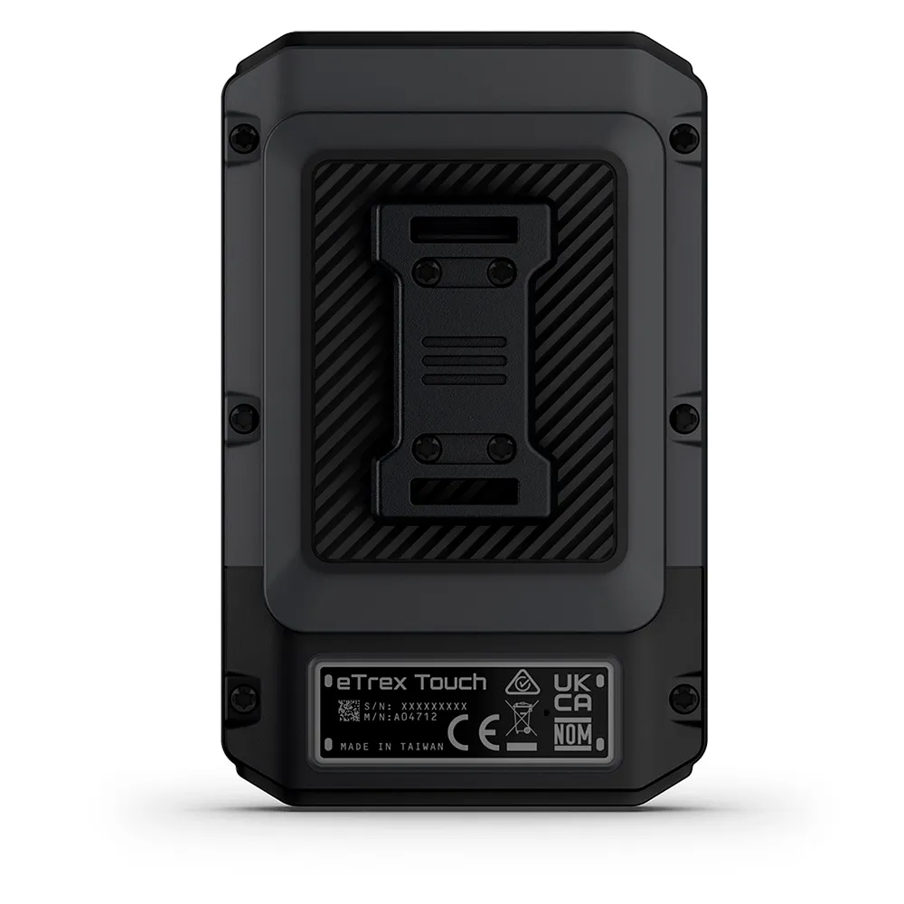
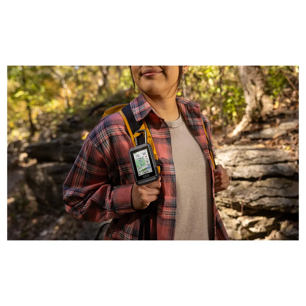
This device has an integrated Spine Mount 2 and is compatible with additional accessories, sold separately.
FEATURES:
General
- Lens material: -Chemically strengthened glass
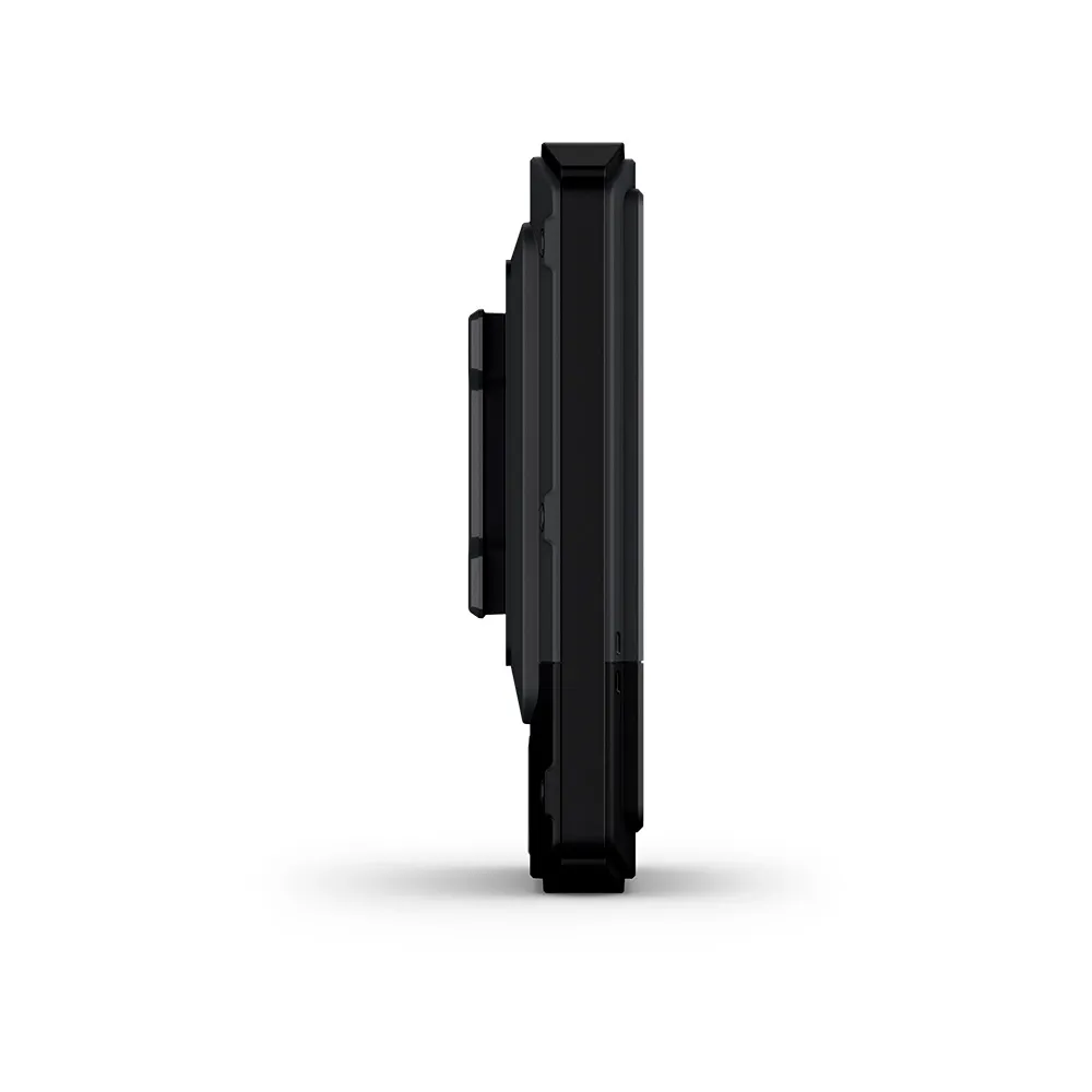
- Dimension: -66 mm x 105.4 mm x 24.6 mm (2.6″ x 4.15″ x 0.97″)
- Weight: -150 g (5.3 oz)
- Water rating: -IP67
- Touchscreen
- Display Type: -3″ transflective colour TFT
- Display Size: - 3.88 cm x 6.48 cm (1.53″ x 2.55″); 7.62 cm (3″) diag
- Display Resolution: -240 x 400 pixels
- Battery type: -Rechargeable, internal lithium-ion
- Battery life: - All Satellite Systems + Multi-Band: Up to 130 hours*, Expedition Mode: up to 650 hours, *Assuming typical use with SatIQ technology
- Memory/history: -32 GB (user space varies based on included mapping)
- Interface: -USB-C
Maps & memory
- Preloaded maps: -Yes (TopoActive, routable)
- Ability to add maps
- Basemap
- Automatic routing (turn by turn routing on roads) for outdoor activities
- Map segments: -Yes (15,000)
- Satellite imagery: -Yes (via Outdoor Maps+ subscription)
- Includes detailed hydrographic features (coastlines, lake/river shorelines, wetlands and perennial and seasonal streams)
- Includes searchable points of interests (parks, campgrounds, scenic lookouts and picnic sites)
- Displays national, state and local parks, forests, and wilderness areas
- Waypoints
- Courses: -Unlimited
- Activities: -Unlimited
- Activity profiles
- GPX imports
Sensors
- GPS
- GLONASS
- Galileo
- QZSS
- BeiDou
- IRNSS
- Barometric altimeter
- Compass
- High-sensitivity receiver
- GPS compass (while moving)
- Multi-band frequency
Daily smart features
- Connect IQ™ (downloadable watch faces, data fields and apps)
- Smart notifications on handheld
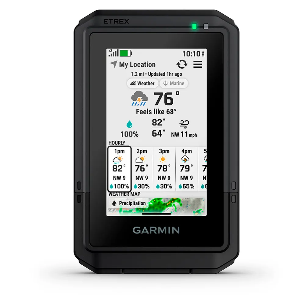
- Weather forecasts
- Weather (removing Active)
- Compatible with Garmin Connect™ Mobile
- Garmin Share
- Passcode
- Next Word, Auto Complete, Auto Correct: -Yes (Next Word, Auto Complete, Auto Correct)
- LiveTrack
- Compatible with AB Synapse
- Ballistics solver: Yes (unlock required)
- Dual grid coordinates
- Night vision mode
Safety and tracking features
- LiveTrack
Tactical features
- Compatible with AB Synapse
- Ballistics solver: Yes (unlock required)
- Dual grid coordinates
- Night vision mode
Outdoor recreation
- Point-to-point navigation
- TracBack®
- Area calculation
- Sun and moon information
- Geocaching-friendly: -Yes (Geocache Live)
- Custom maps compatible: -Yes (500 custom map tiles)
- Picture viewer
Outdoor applications
- Compatible with Garmin Explore™ app
- Garmin Explore website compatible
Connections
- Connections Wireless Connectivity: Yes (Wi-Fi®, BLE, ANT®)
Security and Legal Information
- Security updates until at least (YYYY-MM-DD) 2027-09-30
In the box:
- eTrex Touch Hiking GPS Handheld
- USB cable - Type C to Type C
- Documentation
Technical specifications of Garmin eTrex Touch
-
Dimensions
66 Mm X 105.4 Mm X 24.6 Mm (2.6´´ X 4.15´´ X 0.97´´)
-
Weight
150 G (5.3 Oz)
-
Display Type
3´´ Transflective Colour Tft
-
Screen Size
3.88 Cm X 6.48 Cm (1.53´´ X 2.55´´); 7.62 Cm (3´´) Diag
-
Resolution
240 X 400 Pixels
-
Touchscreen
Yes
-
Lens Material
Chemically Strengthened Glass
-
Wireless Connectivity
Yes (Wi-Fi®, Ble, Ant®)
-
GPS
Yes
-
Ability To Add Maps
Yes
-
Battery Life
All Satellite Systems + Multi-Band: Up To 130 Hours* Expedition Mode: Up To 650 Hours *Assuming Typical Use With Satiq Technology
-
Battery Type
Rechargeable, Internal Lithium-Ion
-
Compass
Yes
-
Barometric Altimeter
Yes
-
Livetrack
Yes
-
Water Resistance Rating
Ip67
-
Smart Notifications
Yes
-
Color
Clear
-
Features
GPS
-
Features
Glonass
-
Features
Altimeter
-
Features
Barometer
-
Recommended Use
Hiking
Bright, 3-inch transflective colour TFT touchscreen for clear visibility.
Durable, IP67-rated water-resistant construction.
Exceptional battery life of up to 130 hours in multi-band mode.
Preloaded, routable TopoActive maps for immediate use.
Superior multi-band GPS positioning with GLONASS, Galileo, and other satellite systems.
Technology in Garmin GPS eTrex Touch
Energy rating
Warnings
5 / 5
1 Reviews
What our customers are saying about Garmin GPS eTrex Touch

Perfect
2026/11/01
Garmin
Fast shipping and everything correct. It works very well, although the carabiner clip that was included in previous models is missed
Write a review about this product
Answer the question
Write your answer
The question has already been answered, thank you very much for trying to help another customer. We will count on you for future questions.
What kind of battery does the Garmin eTrex Touch use and how long does it last?
Answer of Generated by AI and verified
This device is equipped with a rechargeable, internal lithium-ion battery. It offers an extensive battery life of up to 130 hours with all satellite systems and multi-band mode active.
* Generated by AI based on customer and product data
Is the screen on the Garmin eTrex Touch a touchscreen?
Answer of Generated by AI and verified
Yes, the Garmin eTrex Touch features a 3-inch transflective color TFT touchscreen for simple and intuitive operation.
* Generated by AI based on customer and product data
Does this GPS device come with maps already installed?
Answer of Generated by AI and verified
Yes, it comes with preloaded TopoActive maps that feature routable trails and roads to help you navigate your outdoor adventures.
* Generated by AI based on customer and product data
What is the water resistance rating for the Garmin eTrex Touch?
Answer of Generated by AI and verified
The Garmin eTrex Touch has a water resistance rating of IP67, which means it is protected against dust ingress and can withstand immersion in water up to 1 meter for 30 minutes.
* Generated by AI based on customer and product data
Is the Garmin eTrex Touch GPS a reliable choice for outdoor adventures?
Answer of Generated by AI and verified
Yes, the Garmin eTrex Touch GPS is designed for reliability with features like multi-band GPS accuracy and a durable, water-resistant design, making it suitable for outdoor adventures.
* Generated by AI based on customer and product data
What satellite systems does the Garmin eTrex Touch support?
Answer of Generated by AI and verified
This device offers comprehensive navigation support by accessing multiple satellite systems, including GPS, GLONASS, and Galileo, with multi-band frequency support for superior position accuracy.
* Generated by AI based on customer and product data
What is the storage capacity of the eTrex Touch and can it be expanded?
Answer of Generated by AI and verified
The Garmin eTrex Touch has an internal memory capacity of 32 GB. It also supports expandable memory, allowing you to add more maps or data.
* Generated by AI based on customer and product data
What kind of wireless connectivity options are available on this device?
Answer of Generated by AI and verified
The Garmin eTrex Touch supports multiple wireless technologies, including Wi-Fi, Bluetooth (BLE), and ANT+ for connecting to compatible smartphones, sensors, and other Garmin devices.
* Generated by AI based on customer and product data
Does the Garmin eTrex Touch have a built-in compass and altimeter?
Answer of Generated by AI and verified
Yes, it includes both a digital compass to provide an accurate heading even when you're stationary, and a barometric altimeter for precise elevation data and ascent planning.
* Generated by AI based on customer and product data
What is the display resolution of the Garmin eTrex Touch?
Answer of Generated by AI and verified
The Garmin eTrex Touch features a display resolution of 240 x 400 pixels.
* Generated by AI based on customer and product data
Can I use the Garmin eTrex Touch for geocaching?
Answer of Generated by AI and verified
Absolutely. This device is ideal for geocaching, as it can receive live updates from Geocaching.com, including descriptions, logs, and hints. When connected to the Garmin Explore app, your finds are automatically uploaded to your profile.
* Generated by AI based on customer and product data
Is this GPS suitable for planning climbs and tracking elevation?
Answer of Generated by AI and verified
Yes, the eTrex Touch is well-suited for activities involving elevation changes. It features a barometric altimeter and an ascent planning function that shows you upcoming climbs on your route, including when they will occur and their steepness.
* Generated by AI based on customer and product data
Ask a technical question about this product
Use cases
With an extensive 130-hour battery life and a lightweight 150-gram design, this device is engineered for long-duration expeditions where minimizing pack weight is critical. The multi-band GNSS support ensures high-precision location tracking in challenging terrain.
130-hour battery life,150-gram product weight,Multi-band GPS, GLONASS, and Galileo support,Barometric altimeter
The combination of a responsive touchscreen, electronic compass, and multi-band GPS accuracy provides the precision needed for locating geocaches. Preloaded maps and the ability to add more offer detailed context for any search area.
Touchscreen display,Electronic compass,Multi-band GPS accuracy,Preloaded maps
The integrated barometric altimeter delivers crucial elevation data for ascent and descent planning, while the IP67 water-resistance rating ensures reliability in variable mountain weather. The transflective color display remains readable in bright, high-altitude sunlight.
Barometric altimeter,IP67 water-resistance rating,3″ transflective colour TFT display,Electronic compass
This unit is ideal for navigating remote tracks, offering robust positioning with GPS, GLONASS, and Galileo. With 32 GB of internal memory and expandable storage, users can load extensive topographic or custom maps for detailed off-road route planning and tracking.
Expandable memory,32 GB internal memory,Ability to add maps,Multi-band GNSS support
The high-precision, multi-band positioning is suitable for professional field applications like environmental surveying or asset mapping. Wireless connectivity via Wi-Fi and Bluetooth allows for efficient data transfer from the field back to the office for analysis.
Multi-band GPS accuracy,Wireless connectivity (Wi-Fi®, BLE, ANT®),USB-C interface,32 GB memory capacity
Best for
With multi-band support for GPS, GLONASS, and Galileo, this device delivers exceptionally accurate positioning and reliable tracking in challenging environments.
Its robust IP67 water-resistance rating, long 130-hour battery life, and barometric altimeter make it a dependable tool for demanding outdoor conditions.
This unit features Wi-Fi, Bluetooth, and ANT+ connectivity, along with smart notifications and a 3-inch color touchscreen, blending high-tech features with core navigation.
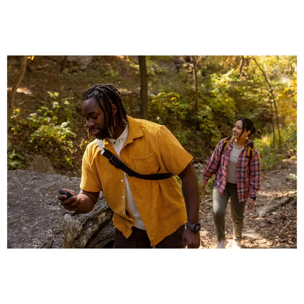
The combination of a bright 3-inch color touchscreen, preloaded maps, and an intuitive interface simplifies navigation for any weekend outing.
Benefits
Achieve precise positioning and reliable navigation in challenging environments. This device supports multiple global navigation satellite systems, including GPS, GLONASS, and Galileo, complemented by multi-band GPS accuracy for enhanced performance.
Gps: yes
Glonass: yes
Galileo: yes
Gps accuracy: multi-band
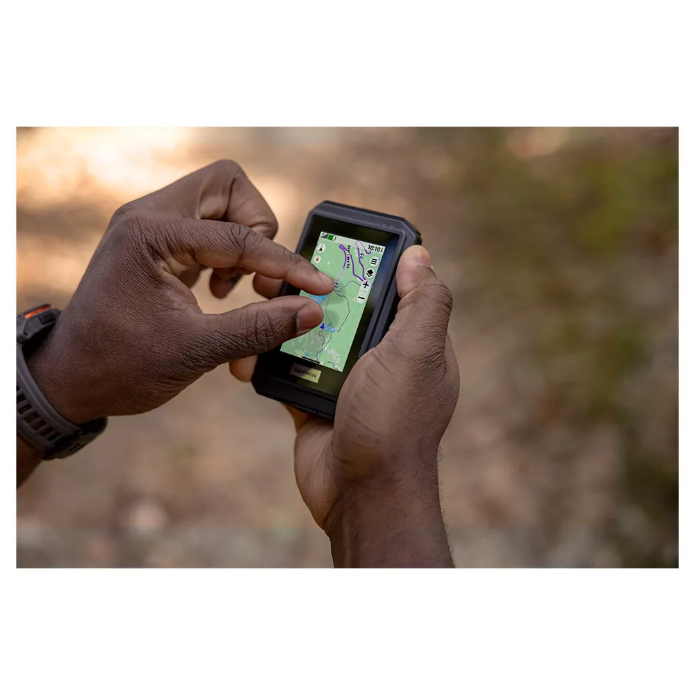
Easily view maps and navigate menus, even in bright sunlight. The device features a 3-inch transflective colour TFT touchscreen with a 240 x 400 pixel resolution, offering a clear and responsive user experience.
Touchscreen: yes
Display size: 3 inches
Display resolution: 240 x 400 pixels
Take on your adventures with a GPS designed to withstand challenging weather conditions. Its IP67 water resistance rating ensures it can handle exposure to the elements, providing reliability when you need it most.
Water resistance rating: ip67
Ideal buyer profiles
The Explorer
This individual thrives on off-grid adventures, from multi-day hikes to geocaching expeditions. They require a navigation tool that is not only accurate but also rugged enough to withstand the elements and has a long battery life to last the entire trip.
The Garmin Etrex Touch Gps is an excellent match, offering multi-band GPS, GLONASS, and Galileo support for precise positioning. Its impressive 130-hour battery life, IP67 water resistance rating, and preloaded maps make it a reliable companion for extended exploration in varied conditions.
The Precision-Focused Navigator
This user values exactness above all else, whether for professional surveying, detailed mapping projects, or competitive orienteering. They need a device that provides the most accurate location data possible, along with tools like an altimeter and compass for comprehensive environmental awareness.
With its multi-band GPS accuracy and support for GLONASS and Galileo systems, this device delivers the high level of precision this user demands. The built-in barometric altimeter and compass provide critical data for detailed navigation and route planning.
The Outdoor User
This person loves integrating technology into their outdoor activities to enhance their experience and stay connected. They look for devices with modern features like touchscreens, wireless connectivity for data syncing, and smart notifications from their phone.
We recommend this GPS because it meets the needs of a tech-forward user with its 3-inch color touchscreen, Wi-Fi and Bluetooth connectivity, and smart notifications. The ability to add maps and a USB-C interface further align with their preference for modern, connected technology.
Ideal Buyer
This individual enjoys day hikes, cycling, or geocaching on weekends and wants a straightforward, reliable GPS to guide their adventures. They prioritize ease of use, a clear display, and essential navigation features without needing expedition-level complexity.
The Garmin Etrex Touch Gps is ideal for the. Its 3-inch color touchscreen and preloaded maps offer a user-friendly experience right out of the box, while its reliable GPS performance ensures they can explore with confidence on their weekend outings.
Competitive features
When choosing a handheld GPS, it's important to weigh features against your specific needs. The Garmin eTrex Touch GPS is a strong contender, known for its user-friendly touchscreen interface and preloaded TopoActive maps. It stands out in a field of capable Garmin devices, each with its own strengths. This analysis compares the eTrex Touch to other models like the GPSMAP and Foretrex series to help you determine the best fit for your adventures.
Where it excels
The eTrex Touch features a 3-inch color touchscreen, offering a more intuitive, smartphone-like user experience compared to the button-operated interfaces of the GPSMAP and Foretrex models. With preloaded TopoActive maps that include routable trails and roads, the eTrex Touch is ready for navigation right out of the box, making it particularly accessible for users who prefer a simple setup. It boasts an impressive battery life of up to 130 hours in standard mode and 650 hours in expedition mode, which is a significant advantage for extended trips where recharging is not an option.
Consider alternatives if...
Verdict
The Garmin eTrex Touch GPS is an excellent choice for outdoor users who prioritize ease of use and long battery life. Its touchscreen and preloaded routable maps make it highly accessible for a wide range of activities. While other models in the Garmin lineup might offer different features, the eTrex Touch provides a balanced and powerful package for reliable navigation.
Specs comparison
| Battery Life | 130 hours | 25 hours | 16 hours | 24 hours | 145 hours |
| Wireless Connectivity | Yes (Wi-Fi®, BLE, ANT®) | Yes (Ant+®) | Yes - Bluetooth®, Ant+® | Yes (Wi-Fi®, Bluetooth®, ANT+®) | Wi-Fi®, Bluetooth®, ANT+® |
| Compass | Yes | Yes | Yes | Yes | Yes |
| Product Weight | 150 grams | 141.7 grams | 217 grams | 410 grams | 276 grams |
| Display Size | 3 inches | 2.2 inches | 2.6 inches | 5 inches | 3.5 inches |
| Altimeter | Yes | Yes | Yes | Yes | Yes |
| Gps | Yes | Yes | Yes | Yes | Yes |
| Bluetooth | Yes | - | Yes | Yes | Yes |
| Expandable Memory | Yes | Yes | Yes | Yes | Yes |
| Gps Accuracy | multi-band | - | multi-band | multi-band | multi-band |
| Memory Capacity | 32 GB | 8 GB | 32 GB | 32 GB | 64 mAh |
| Screen Size | 3.0 cm | 5.6 cm | 6.6 cm | 5.0 cm | 3.5 cm |
| Touchscreen | Yes | - | - | Yes | Yes |
| Usb Interface | usb-c | usb | high-speed mini usb | usb-c | usb-c |
| Barometric Altimeter | Yes | Yes | Yes | Yes | Yes |
| Battery Type | Rechargeable, internal lithium-ion | 2 Aa Batteries (Not Included); Nimh Or Lithium Recommended | 2 Aa Batteries (Not Included); Nimh Or Lithium Recommended | Rechargeable lithium-ion | Rechargeable, internal lithium-ion |
| Display Resolution | 240 x 400 pixels | 240 x 320 pixels | 160 X 240 Pixels | 480 x 800 pixels | 282 x 470 pixels |
| Galileo | Yes | - | Yes | Yes | Yes |
| Glonass | Yes | Yes | Yes | - | - |
| Water Resistance Rating | ip67 | ipx7 | ipx7 | ipx7 | ip67 |
| Screen Resolution | 240 x 400 pixels | 240 x 320 pixels | 160 X 240 Pixels | 480 x 800 pixels | 282 x 470 pixels |
| Smart Notifications | Yes | - | Yes | Yes | Yes |
| Wifi | Yes | - | - | Yes | Yes |
| Ability To Add Maps | Yes | Yes | Yes | Yes | Yes |
| Preloaded Maps | Yes | Yes | Yes | Yes | Yes |
| Memory | 32 GB | 8 GB | 16 GB | 32 GB | 64 GB |
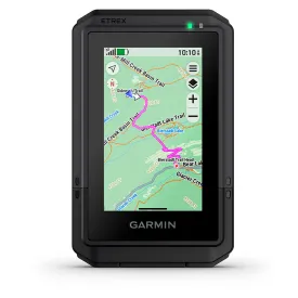
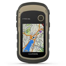
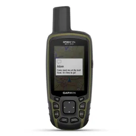


Specs vs competitors
Tradeinn works with its own stock and with more than 2,000 suppliers connected daily. We update availability in real time to offer you the widest possible catalog, always at the best price. Some products may require additional delivery time depending on supplier availability.