


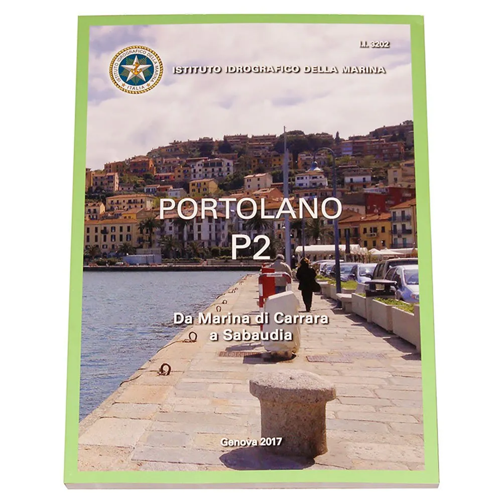



Istituto Idrografico P2 Portolan Chart
Price without code 48.99
RRP:
You save:
Price without subscription
VAT & duties included
No extra charges at delivery.
Color:
Your interest-free financing from with


My virtual fitting room
Other colors available


Perfect pairings
Reportar error
Features of Istituto idrografico P2 Portolan Chart
Product description of Istituto Idrografico P2 Portolan Chart
Description summary
Navigate the Tyrrhenian Sea from Marina Di Carrara to Sabaudia with the official ISTITUTO IDROGRAFICO P2 Portolan Chart. Published by the Italian Navy´s Hydrographic Institute, this essential guide complements nautical charts with vital textual descriptions and graphical aids. It offers authoritative coastal intelligence, detailed port and anchorage information, hazard warnings, environmental data, and regulatory guidance. Enhance safety, precision, and passage planning with this indispensable navigational tool
The P2 Portolan is meticulously designed to be the indispensable complement to your standard nautical charts. While a chart shows you where you are, the Portolan tells you everything you need to know about the environment around you, providing a depth of information that cannot be graphically represented. Enhance your situational awareness and make informed decisions with this comprehensive volume.
Key Benefits:
* Authoritative Accuracy: As an official publication of the Italian Navy´s Hydrographic Institute, the P2 Portolan provides the most reliable and up-to-date information available, ensuring your navigation is based on verified data.
* Comprehensive Coastal Intelligence: Go beyond depths and buoys. Gain a complete understanding of the coastal environment, including landmarks, potential hazards, and local conditions that are critical for safe passage.
* Enhanced Safety and Compliance: Navigate with peace of mind, knowing you have access to all pertinent maritime regulations, restricted areas, and environmental protection rules specific to the region.
* Efficient Passage Planning: Streamline your voyage preparation by having all necessary geographic, oceanographic, and meteorological data consolidated into a single, easy-to-reference volume.
Main Features:
The P2 Portolan is packed with critical information to support every aspect of your journey. It offers detailed textual descriptions and graphical aids covering the entire specified area. Inside, you will find:
* Detailed Port and Anchorage Information: In-depth descriptions of harbors, marinas, and anchorages, including access channels, berthing facilities, available services, and potential hazards.
* Coastal Descriptions: A mile-by-mile guide to the coastline, highlighting prominent natural and man-made landmarks visible from the sea for visual position fixing.
* Navigational Hazards and Cautions: Clear warnings about rocks, shoals, wrecks, and other dangers that may not be immediately apparent on a standard chart.
* Environmental Conditions: Crucial data on prevailing currents, tidal streams, local winds, and meteorological patterns to help you anticipate sea conditions.
* Regulatory Guidance: A complete overview of national and local maritime regulations, including speed limits, navigation channels, and protected marine areas.
Publisher´s Information:
P2 Coast Pilot.
Forniscono Informazioni Di Carattere Normativo, Geografico, Oceanografico E Meteorologico.
Sono L´Indispensabile Completamento Alla Carta Nautica.
From Marina Di Carrara To Sabaudia.
Maps and Plans:
While primarily a textual guide, the P2 Portolan is richly illustrated with a multitude of detailed plans and views that function as specialized maps. These include large-scale plans of complex harbor entrances, diagrams of port layouts, and coastal profile sketches. This visual information provides an intuitive understanding of critical areas, allowing for safer approaches and maneuvering in confined waters.
Technical Specifications:
* Product Title: ISTITUTO IDROGRAFICO P2 Portolan Chart
* Publication Type: Coast Pilot / Portolano (Sailing Directions)
* Publisher: Istituto Idrografico della Marina
* Coverage Area: Italian Coast - Tyrrhenian Sea, from Marina Di Carrara to Sabaudia.
* Language: Italian
* Purpose: To supplement official nautical charts with comprehensive navigational, regulatory, and environmental information
Technical specifications of Istituto idrografico P2 Portolan Chart
Technology in Istituto Idrografico P2 Portolan Chart
Energy rating
Warnings
/ 5
1 Reviews
What our customers are saying about Istituto Idrografico P2 Portolan Chart
Write a review about this product
Answer the question
Write your answer
The question has already been answered, thank you very much for trying to help another customer. We will count on you for future questions.
Use cases
Best for
Benefits
Ideal buyer profiles
Competitive features
Where it excels
Consider alternatives if...
Verdict
Specs comparison
Specs vs competitors
Tradeinn works with its own stock and with more than 2,000 suppliers connected daily. We update availability in real time to offer you the widest possible catalog, always at the best price. Some products may require additional delivery time depending on supplier availability.


