


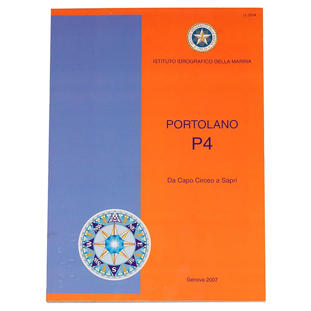



Istituto Idrografico P4 Portolan Chart
Price without code 48.99
RRP:
You save:
Price without subscription
VAT & duties included
No extra charges at delivery.
Color:
Your interest-free financing from with


My virtual fitting room
Other colors available


Perfect pairings
Reportar error
Features of Istituto idrografico P4 Portolan Chart
Product description of Istituto Idrografico P4 Portolan Chart
Description summary
Navigate Italy´s stunning Tyrrhenian coast from Capo Circeo to Sapri with the ISTITUTO IDROGRAFICO P4 Portolan Chart. This essential publication from the Italian Navy´s Hydrographic Institute complements nautical charts, providing crucial textual descriptions, warnings, and recommendations. Gain enhanced safety, in-depth local knowledge of anchorages and weather, and plan efficient passages with detailed regulatory, geographic, oceanographic, and meteorological information. Essential for understanding complex harbours, remote anchorages, and challenging passages, the P4 offers authoritative guidance for a confident and informed voyage
Unlock the secrets of the Italian coastline from the deck of your vessel. While your nautical chart shows you the "what" and "where"—depths, hazards, and coastlines—the P4 Portolan tells you the "how" and "why." It is your expert local guide, offering detailed textual descriptions, warnings, and recommendations that cannot be conveyed by symbols on a chart alone. This indispensable resource transforms a planned route into a well-executed passage, giving you the confidence to explore complex harbours, secluded anchorages, and challenging passages like a seasoned local.
Key Benefits for the Modern Mariner
* Enhanced Safety and Situational Awareness: Navigate with confidence by understanding local regulations, potential dangers not visible on charts, and specific procedures for entering and exiting ports. Avoid costly errors and ensure a safe passage for your crew and vessel.
* In-Depth Local Knowledge: Gain access to a wealth of information typically known only to local sailors. Discover the best anchorages, understand prevailing weather patterns, and learn the nuances of currents and tides specific to the region.
* Efficient Passage Planning: Plan your journey with greater accuracy. The P4 provides critical details on port facilities, communication channels, and navigational aids, allowing you to create a more robust and reliable itinerary.
* Official and Authoritative Source: Trust in the data provided. As an official publication of the Italian Navy´s Hydrographic Institute, the P4 Portolano is compiled with the highest standards of accuracy and is the mandatory reference for professional and serious leisure mariners in Italian waters.
Maps and Geographic Coverage
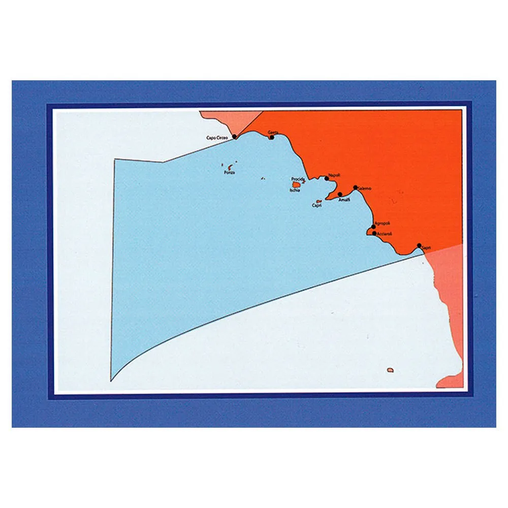
The P4 Portolan provides comprehensive coverage of the Italian coast from Capo Circeo to Sapri. This area encompasses some of the world´s most iconic and beautiful sailing destinations, including:
* The Pontine Islands (Ponza, Ventotene)
* The Gulf of Gaeta
* The Phlegraean Islands (Ischia, Procida)
* The Gulf of Naples, including the legendary island of Capri
* The stunning Sorrento and Amalfi Coasts (Positano, Amalfi)
* The Gulf of Salerno
* The pristine Cilento Coast
Within the publication, you will find detailed harbour plans, diagrams of complex waterways, and sketches of coastal profiles to aid in visual recognition and pilotage.
P4 Coast Pilot.
It Provide Information Regulatory, Geographic, Oceanographic And Meteorological.
This Is Indispensable Complement To The Nautical Charts.
From Capo Circeo To Sapri.
Main Features
This comprehensive guide is structured to provide critical information at your fingertips, covering four key areas:
* Regulatory Information: A complete overview of navigation rules, including traffic separation schemes (TSS), vessel traffic services (VTS) frequencies and procedures, protected marine areas with their specific restrictions, and port authority regulations.
* Geographic Information: Detailed descriptions of the coastline, prominent landmarks for visual navigation, characteristics of the seabed for anchoring, and precise locations of lights, buoys, and beacons with their characteristics. It highlights dangers such as submerged rocks, shoals, and other hazards.
* Oceanographic Information: Crucial data on local tidal patterns, tidal streams, and prevailing sea currents. This information is vital for calculating passage times, ensuring comfort, and maintaining safety in tidally influenced areas.
* Meteorological Information: Insights into the region´s microclimates, including prevailing winds (like the Mistral or Scirocco), seasonal weather patterns, and the likelihood of specific phenomena such as sea fog or local squalls, enabling better weather-dependent decisions.
Technical Specifications
* Product Title: ISTITUTO IDROGRAFICO P4 Portolan Chart / Coast Pilot
* Official Title: Portolano P4 - Da Capo Circeo a Sapri
* Publisher: Istituto Idrografico della Marina (Italian Navy Hydrographic Institute)
* Volume: P4
* Category: Navigation, Sailing Directions, Coast Pilots
* Format: Paperback Publication
* Area of Coverage: Tyrrhenian Sea, Italy - From Capo Circeo to Sapri
Technical specifications of Istituto idrografico P4 Portolan Chart
Technology in Istituto Idrografico P4 Portolan Chart
Energy rating
Warnings
/ 5
1 Reviews
What our customers are saying about Istituto Idrografico P4 Portolan Chart
Write a review about this product
Answer the question
Write your answer
The question has already been answered, thank you very much for trying to help another customer. We will count on you for future questions.
Use cases
Best for
Benefits
Ideal buyer profiles
Competitive features
Where it excels
Consider alternatives if...
Verdict
Specs comparison
Specs vs competitors
Tradeinn works with its own stock and with more than 2,000 suppliers connected daily. We update availability in real time to offer you the widest possible catalog, always at the best price. Some products may require additional delivery time depending on supplier availability.


